Sprint Creates Data from Historic St. Louis Maps
The Data Service team at Washington University Libraries, in collaboration with the Missouri History Society Library and Research Center, recently completed their first “sprint” project—an effort that saw data scientists and GIS professionals in collaboration with WashU students and enthusiasts of St. Louis history—to add layers of digital context to historic maps.
The fire insurance maps were previously featured on the Unreal City website, which was a grant-funded collaboration between Washington University and the Missouri Historical Society. It displayed digital copies of insurance maps from 1870 through 1904, created by Whipple, Aubin, and Sandborn. The Unreal City site is being retired to make way for a better user experience and to ensure long-term accessibility. Data Services seized the opportunity to expand digital surrogates to full-on digital datasets.
The title of the Unreal City collection was taken from the final piece of the first stanza in the poem The Wasteland (1922) by T.S. Eliot. Although Eliot was writing about London at the time, he himself said, “My urban imagery was that of St. Louis.” Eliot was a native of St. Louis and attended Smith Academy, an all-boys college preparatory division of Washington University. He was also the grandson of William Greenleaf Eliot, a co-founder of Washington University.

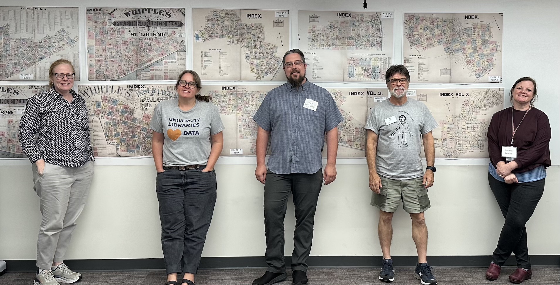
The sprint took place during the week of July 31, 2023, and involved over 35 volunteers. Anyone, no matter their credentials or background, could participate in the project. The participants were divided into three teams and contributed both in-person at John M. Olin Library or virtually via Zoom.
The first team focused on georeferencing fire insurance maps, connecting them to reference data using control points. Participants were able to review a map, georeference it, and then check in the georeferenced files. Over 200 maps were georeferenced.
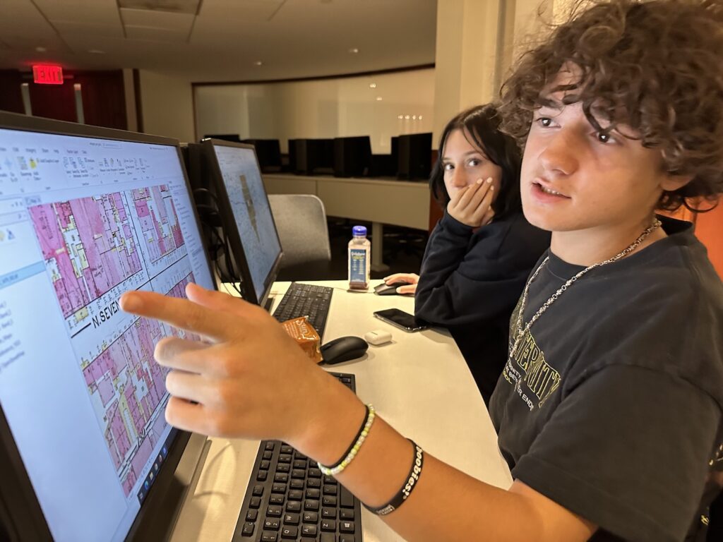
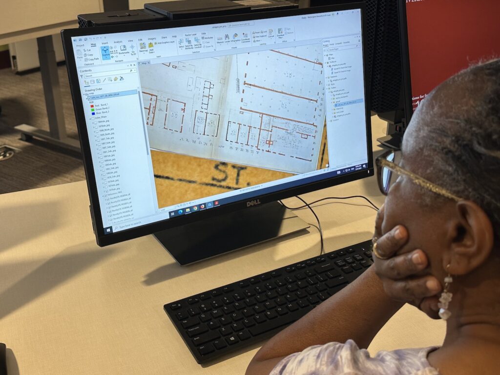
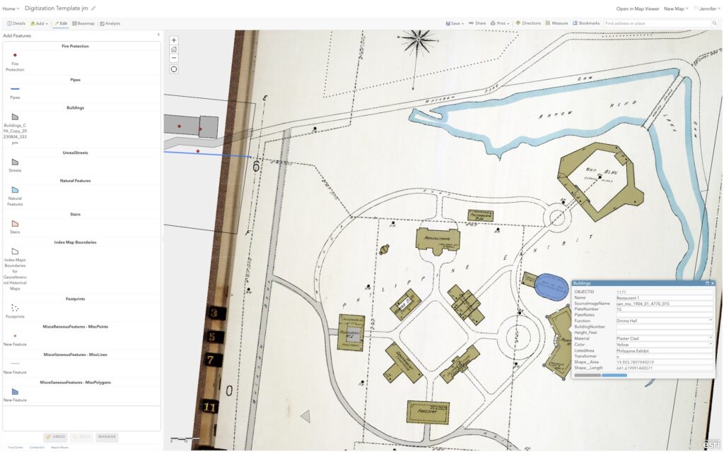
Another team worked on drawing digital vector objects from buildings and other features of the maps, creating a dataset that includes descriptive information in a table. Creating vector data greatly expands the possibility for analysis. The digitization team captured features from the Sanborn 1904 World’s Fair volume 1 plates and from the 1904 World’s Fair Groundplan map.
Features digitized by the digital objects team during the sprint included:
- 1310 buildings (many buildings were captured in sections to allow coding of various attributes)
- 89 pathways (mostly from the 1904 World’s Fair Groundplan map)
- 162 streets
- 57 transportation areas
- 1138 fire protection features (hydrants, vertical pipes, alarms, etc.)
- 300 pipes
- 17 natural features (ponds, lakes)
- 38 stairs
- 266 “footprints” (general areas at the fair)
The third group worked on creating a new website, using ArcGIS StoryMaps, which will be published in the coming months, to add context to the overall project and explain how to use the repository that will hold this valuable content. The landing map will introduce users to fire insurance maps, including ways to use them, as well as some additional resources, including city directories and other St Louis history resources; a history of the Unreal City Project that describes the original Unreal City phase 1 and current phase 2; the history of fire insurance maps; background and context for the original, printed maps; and a biography of Alphonso Whipple. When published, the landing page will connect to St. Louis Stories, a collection that features many facets of the geographical history of the region.
Once fully digitized, these maps will be a valuable resource for anyone interested in exploring historical geography in St. Louis. Already, there are plans to use these maps in an upcoming exhibition focusing on the 1904 St. Louis World’s Fair at the Missouri History Museum, as well as for projects such as WashU & Slavery and Asia in St. Louis.
Jennifer Moore, head of Data Services said “We were thrilled to be able to hold this sprint and take some important steps to improve access and make these maps more useful to scholars for years to come. Having so much enthusiastic participation from such different backgrounds to complete this work energized our team, and I really appreciate all the time and expertise that was shared to make this possible. We look forward to hosting more data sprints in the future!”