Historical Maps Viewing
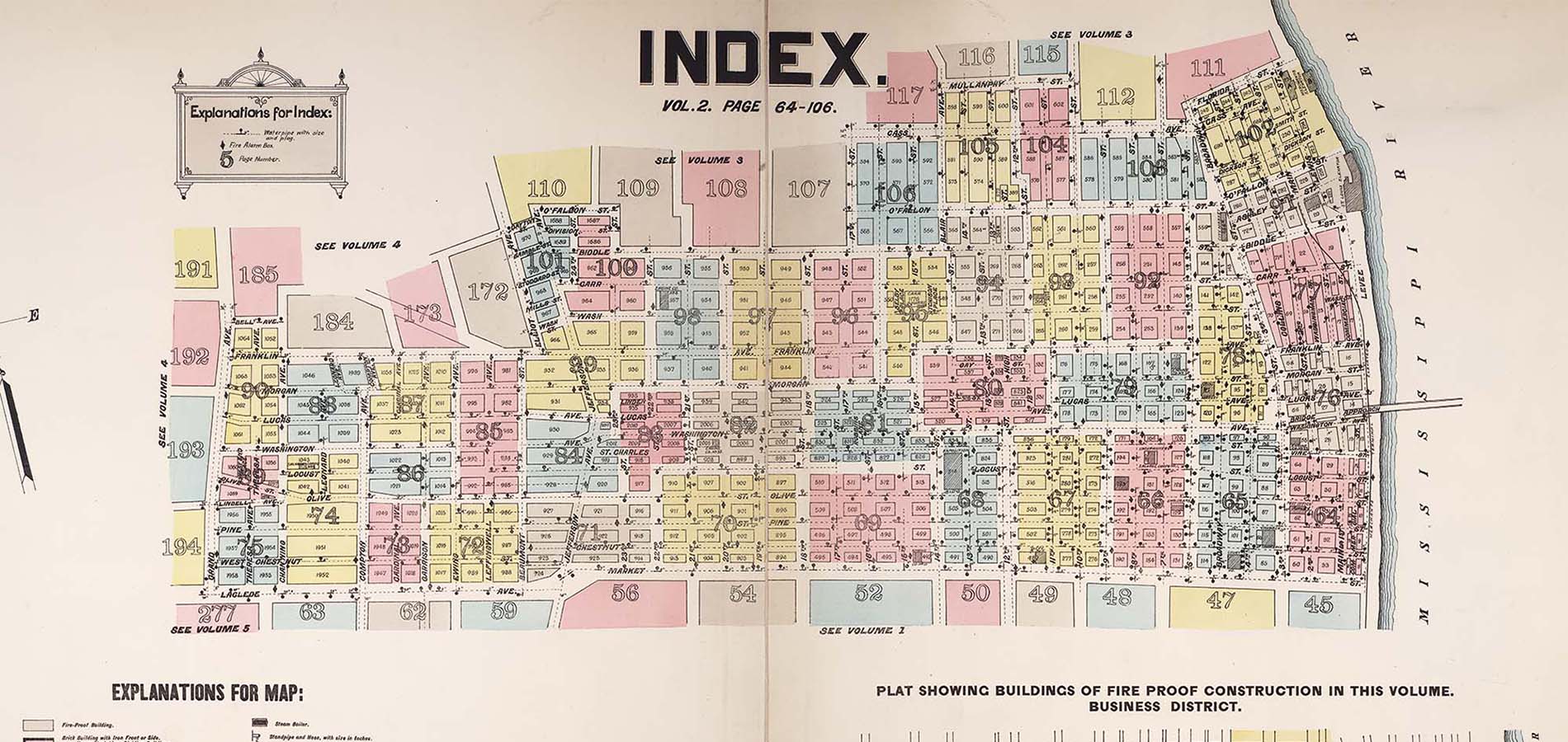
This Geography Awareness Week, in addition to our week-long georeferencing sprint of WashU and the Missouri Historical Society’s digital collections of fire insurance maps, we invite you to visit and view the original maps. This is an opportunity to learn more about St. Louis history through this unique collection. Originally created for the fire insurance industry, these maps provide the most complete visual record of the evolving built environment in St. Louis, covering commercial, industrial, and residential neighborhoods, from 1870-1904.
Map viewing times:
Washington University Libraries, Olin Library, Room 142
Friday, November 17: 10 am–4 pm
Missouri Historical Society, 225 S Skinker Blvd, St. Louis, MO 63105
Tuesday, November 14; Thursday, November 16; and Friday, November 17: Noon–5 pm