Unreal City
Unreal City: Historic St. Louis Maps
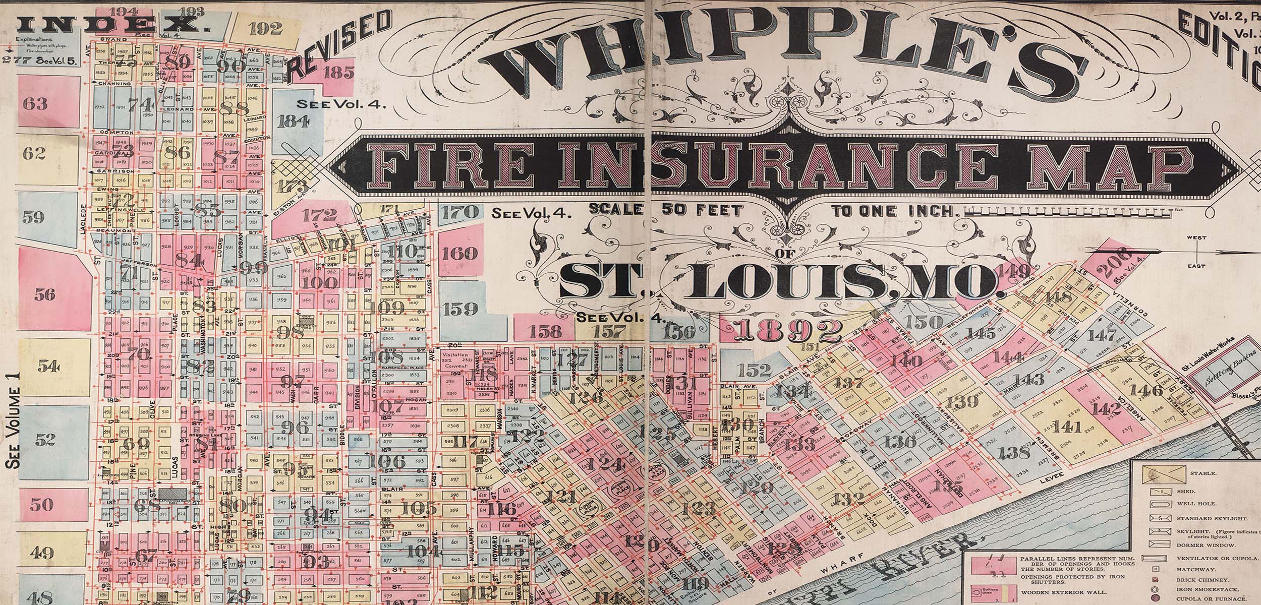
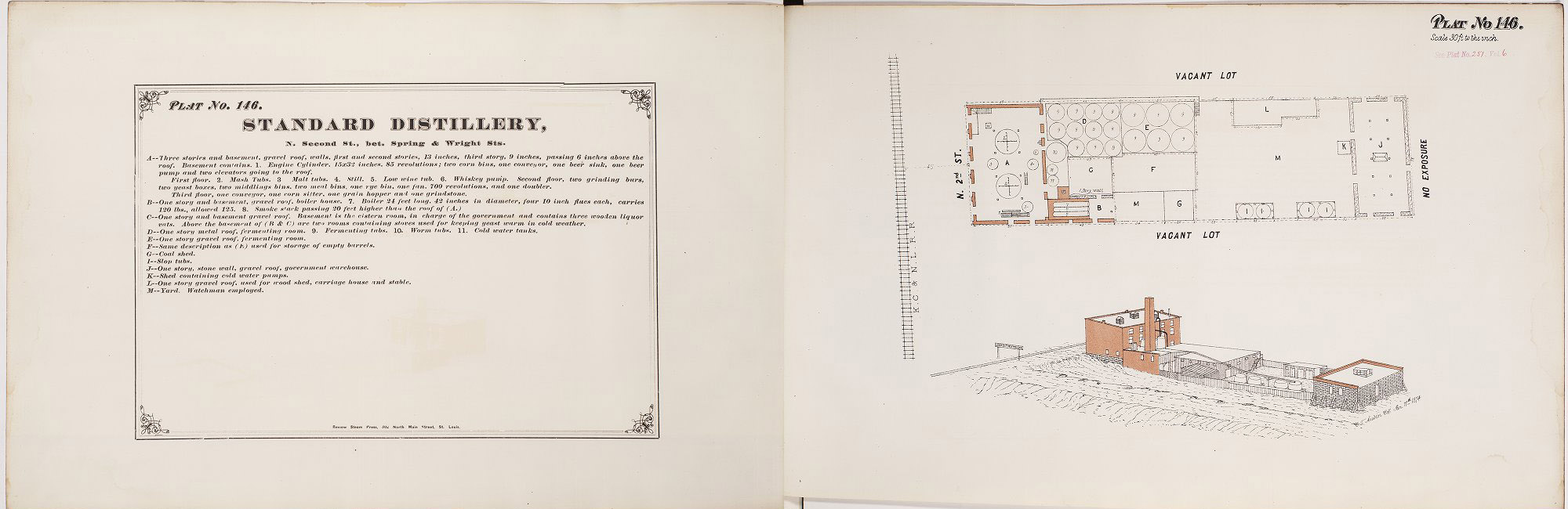
The 19th century St. Louis fire insurance maps in Unreal City: Historic St. Louis Maps are an important source of historical information to study the growth and development of post-Civil War St. Louis.
Originally created for the fire insurance industry, these maps provide the most complete visual record of the evolving built environment in St. Louis, covering commercial, industrial, and residential neighborhoods.
The Unreal City digital project was created in collaboration with the Missouri Historical Society with funding from the Missouri State Library (2008-2009). Work began in 2022 to digitally migrate the contents to a new platform and add greater GIS capabilities.
Access these Materials
Explore Unreal City: Historic St. Louis Maps
Contact
- Department
- Special Collections, Special Collections, Preservation, and Digital Strategies
- Name
- Miranda Rectenwald
- she/her/hers
- Job Title
- Curator of Local History
- Email Address
- mrectenwald@wustl.edu
- Phone Number
- (314) 935-5444