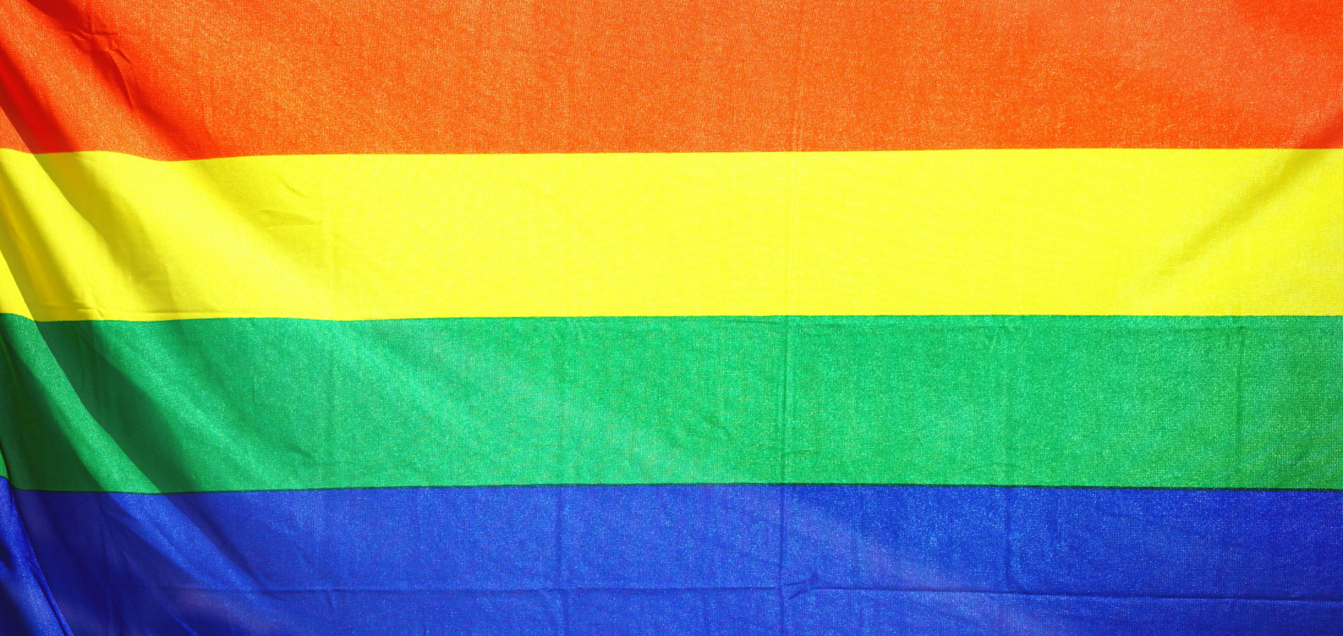
Mapping LGBTQ St. Louis
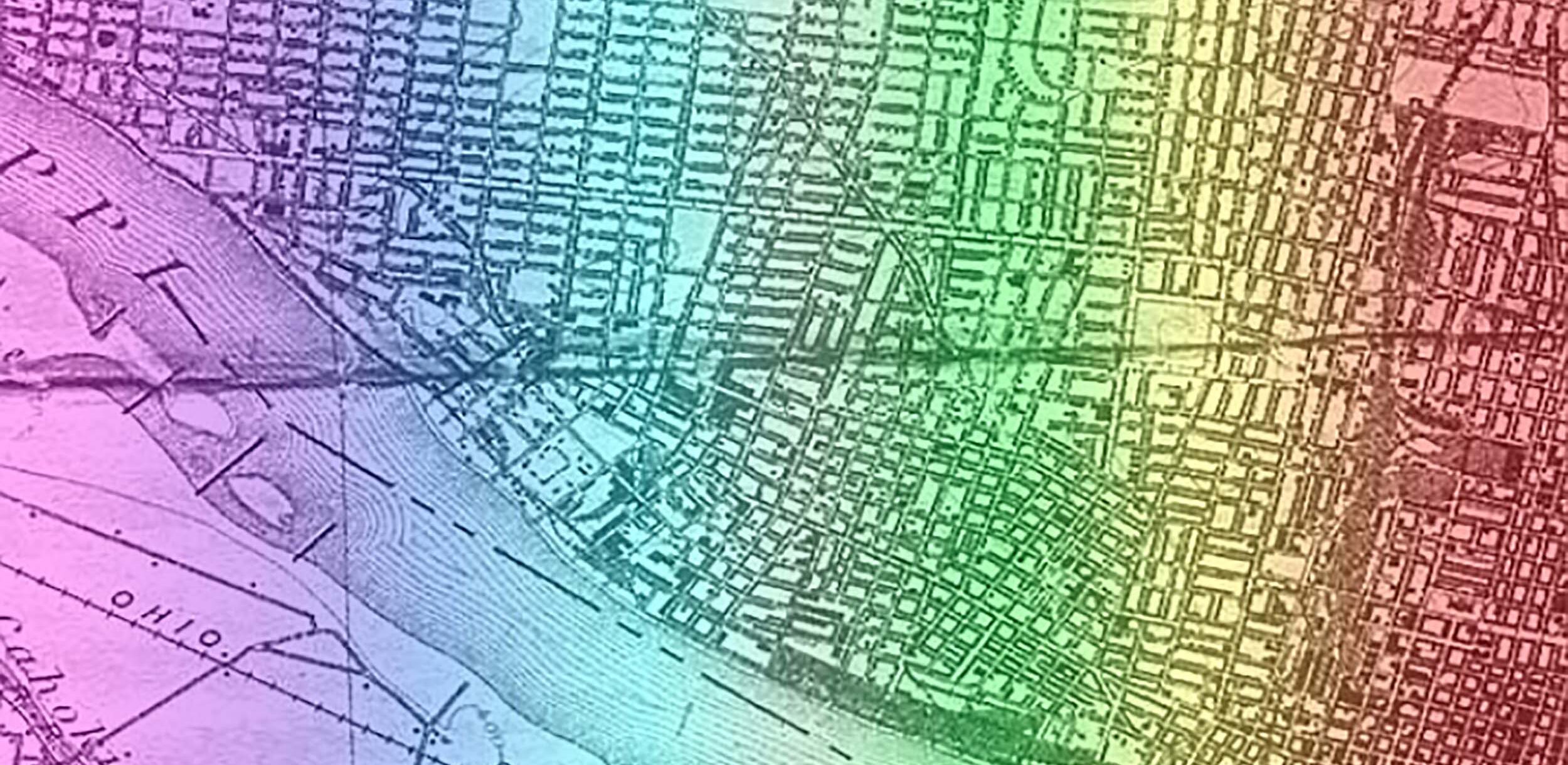
This digital collection uses maps to explore the region’s LGBTQ communities from the end of World War II in 1945 through the passage of St. Louis’ first gay and lesbian-inclusive civil rights ordinance in 1992.
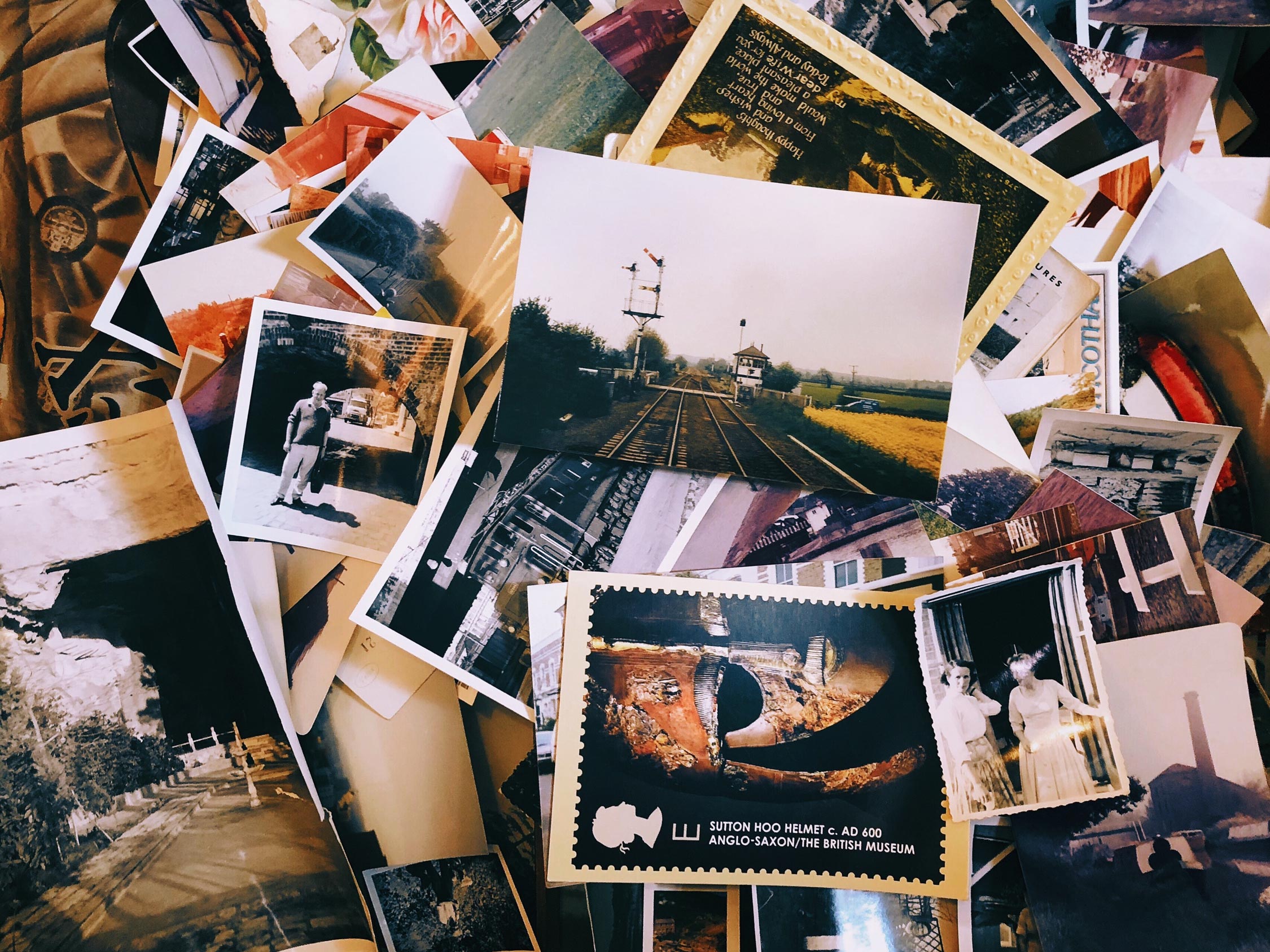
The project aims to document the history of a people whose sexual and gender nonconformity has often meant that their stories have gone unheard, unrecorded, un-archived, and unremarked upon.
The aim is to put this history literally – and metaphorically – on the map. This project examines community spaces of all types: bars, bathhouses, drag balls, and more. Mapping LGBTQ St. Louis notes the emergence of other community spaces by the 1960s and presents as many public sites as possible.
Mapping LGBTQ St. Louis was funded by the Washington University Center for the Humanities Divided City Initiative, a Mellon-funded Urban Humanities Initiative (2016-2023). Andrea Friedman and Miranda Rectenwald co-lead the project.
Contact
- Department
- Special Collections, Special Collections, Preservation, and Digital Strategies
- Name
- Miranda Rectenwald
- she/her/hers
- Job Title
- Curator of Local History
- Email Address
- mrectenwald@wustl.edu
- Phone Number
- (314) 935-5444
News