Unreal City Sprint
Join the Data Services Department for a sprint during Geography Awareness Week (GAW) to continue the reimagining of the Unreal...
Join the Data Services Department for a sprint during Geography Awareness Week (GAW) to continue the reimagining of the Unreal...
Join the Data Services Department for a sprint during Geography Awareness Week (GAW) to continue the reimagining of the Unreal...
Join the Data Services Department for a sprint during Geography Awareness Week (GAW) to continue the reimagining of the Unreal...
Join the Data Services Department for a sprint during Geography Awareness Week (GAW) to continue the reimagining of the Unreal...
Join the Data Services Department for a sprint during Geography Awareness Week (GAW) to continue the reimagining of the Unreal...
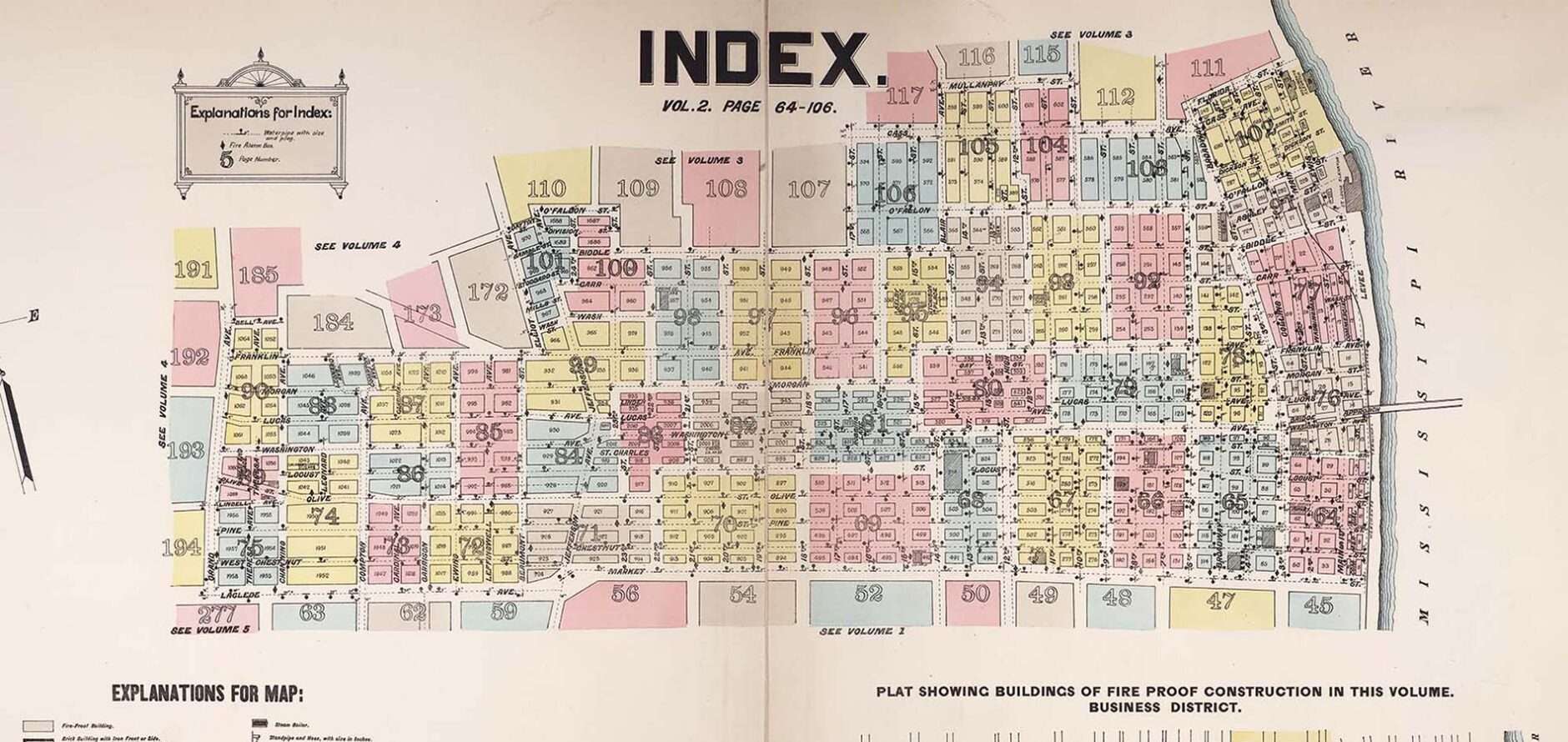
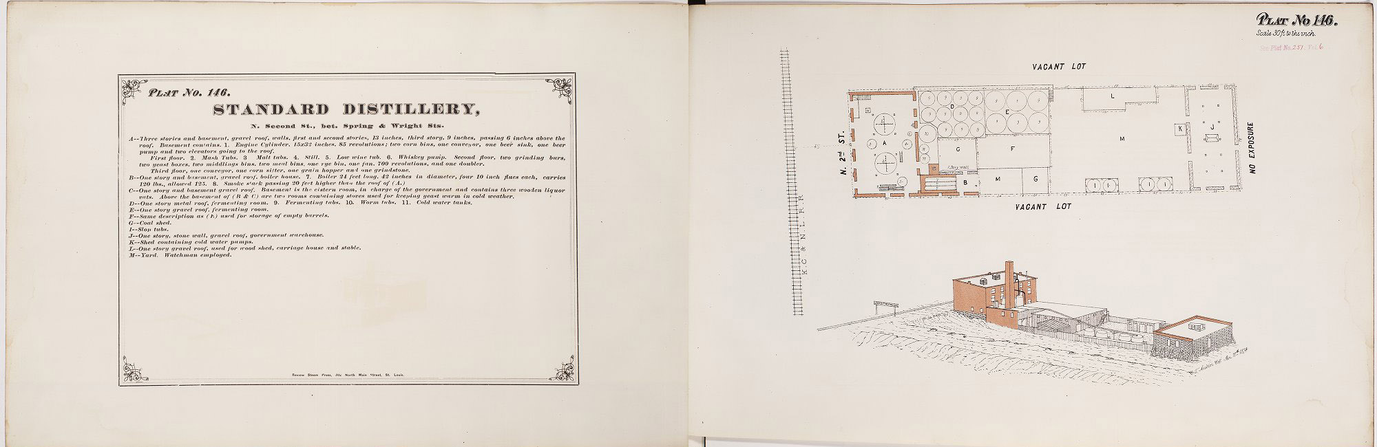
This Geography Awareness Week, in addition to our week-long georeferencing sprint of WashU and the Missouri Historical Society’s digital collections...
A panel discussion featuring WashU faculty and local institutions who are using open source tools to analyze and visualize spatial...
Jennifer Moore, head of data services, will lead participants through creating a map with QGIS.
GIS programmer, Mollie Webb, will lead attendees through making a basic map using Leaflet.
This workshop will go over selected open source GIS tools and examine the pros and cons of using these tools.
Bill Winston, GIS analyst, will lead participants through a presentation and workshop around geodesy.