Mapping of a Seventeenth-Century English Village
Data Services at WashU Libraries spent the summer spatially exploring a seventeenth-century English parish with Steve Hindle, Derek Hirst Endowed Professor of early modern British history, and Matthew McClelland, an independent designer and researcher.
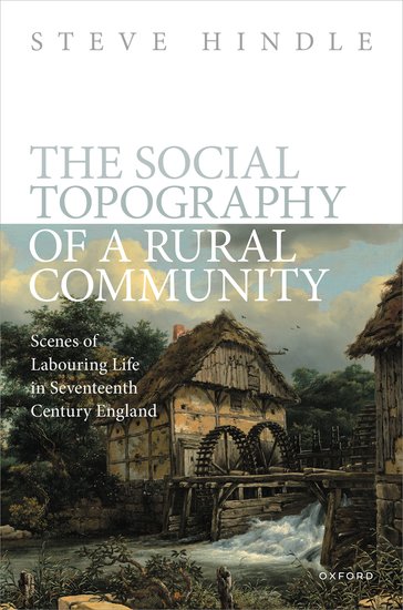
Hindle has long researched the social and economic history of sixteenth and seventeenth-century England. In his recent monograph, The Social Topography of a Rural Community: Scenes of Labouring Life in Seventeenth Century England (Oxford University Press, 2023), he focuses on the people and landscape of Chilvers Coton, a village east of Birmingham in Warwickshire, which was also the home for a time of the nineteenth-century novelist George Eliot.
Hindle and McClelland have collaborated over several years to explore the human and natural environment of Chilvers Coton, using primary resources from the archives of the village and the record offices in Staffordshire, Warwickshire, and London. McClelland had created detailed digital images, mapping out the landscape based on Hindle’s deep historical knowledge. In 2023, Hindle reached out to Data Services to migrate the project to GIS to build an interactive map and to be able to conduct additional geospatial data analysis.
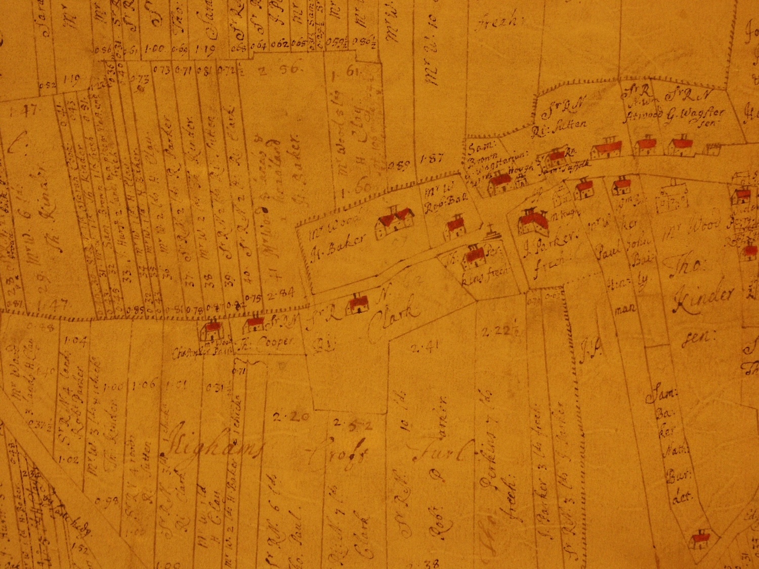
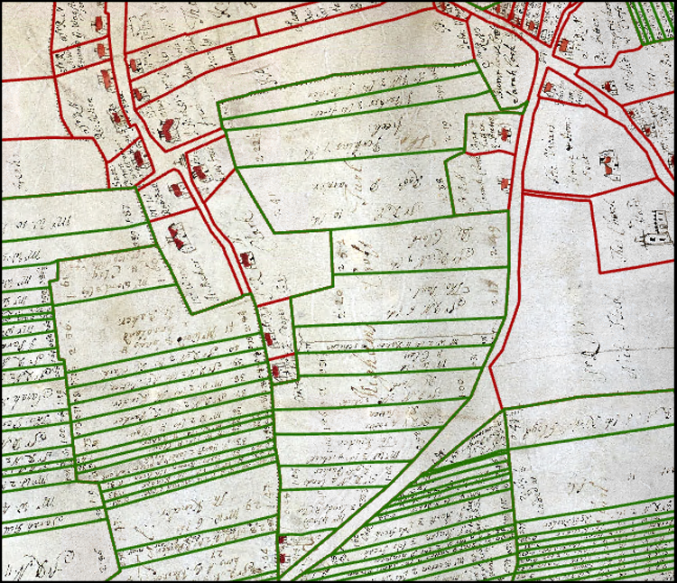
Data Services’ work with Hindle and McClelland centered on an image of the 1684 surveyor’s map that had been already georeferenced. The team drew fields, buildings, roads, and other map features to create spatial layers, and added land tenancy information which would help to map parcels and build out attribute tables for use in pop-ups. All in all, Data Services outlined over 1,100 individual parcels of land and geolocated 150 individual buildings, while extracting the handwritten descriptions of the parcels into a data table.
Upon seeing the digitization of the individual fields, Hindle was astonished at the clarity and depth of the geospatial perspective. “For the first time,” he explained, “I was able to envisage exactly how the built environment of the village related to the agricultural environment of the field system. Almost at a glance, I learned a great deal about a rural community that I thought I knew so well.”
In addition, Data Services produced prototype buildings in three dimensions (3D) based on measurements, numbers of windows, and roof types (tile, thatch, etc.) which were sketched and recorded on the original seventeenth-century map.
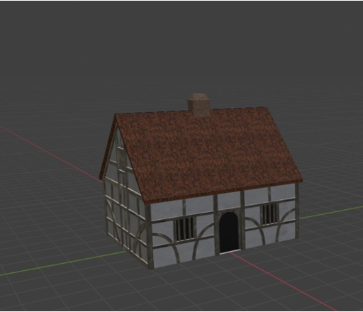
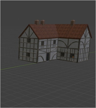
Hindle was delighted with the results of the sprint and the new insights that were provided by GIS and 3D visualization.
The team engaged in a week-long sprint to help the project meet some key milestones. Sprints are dedicated project work provided over a week during the summer intersession. WashU faculty are invited to apply for a Data Services sprint, and the team usually commits to one per year. Sprints are always rewarding for the team, and often a lot of fun, as was the case with the historical mapping of Chilvers Cotton.