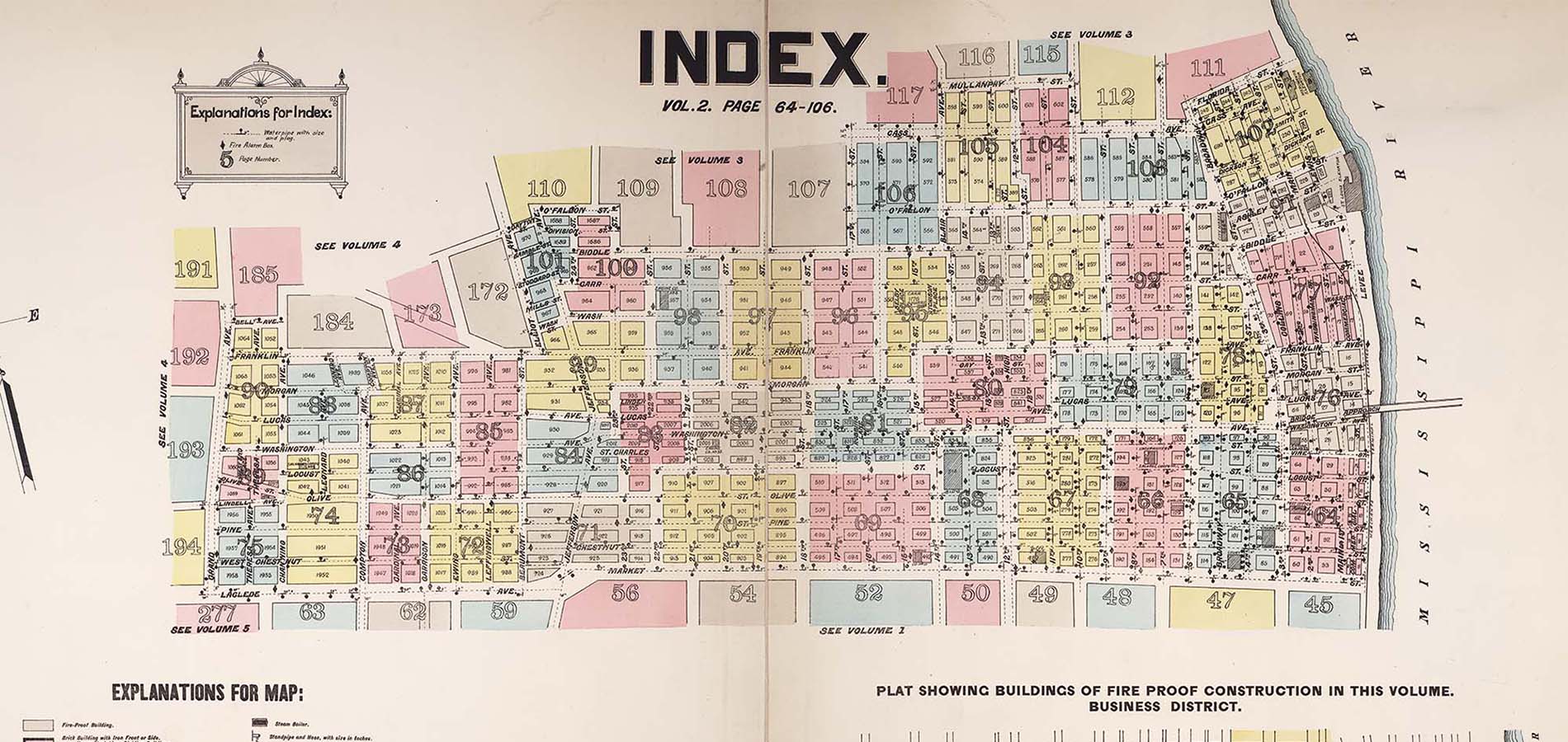
Georeferencing Historic Maps
Some years ago, Washington University and the Missouri Historical Society collaborated on the development of the Unreal City website, which displayed their fire insurance map collections. That legacy website is now being updated and enhanced to meet current digital standards of accessibility and preservation.
We are looking for volunteers who already are familiar with the legacy website (or who just enjoy working with old maps and historical information on St. Louis) to join us in a weeklong “sprint,” where many people work on the project at the same time.
During the week of July 31–August 4, we will create data from the map images and build a StoryMap to relaunch Unreal City (under the same or a new name) to replace the platform. The sprint deliverables will include the following subset:
1) Georeferenced maps
2) Datasets created from the images (e.g., polygons of the buildings)
3) A Story Map providing context, linkages, and potential use cases.
Because of the scale of the Unreal City project (thousands of map images), we will not finish this in a single weeklong sprint but hope to create an iterative process by which we can all contribute to rebuilding the platform. During Sprint Week, we will focus on maps that show the 1904 St. Louis World’s Fair grounds and some of the surrounding residential areas.
We welcome you to join us! If you are interested in getting involved, please fill out this form to indicate your availability, interest, and skills and we’ll be in touch about the next steps.