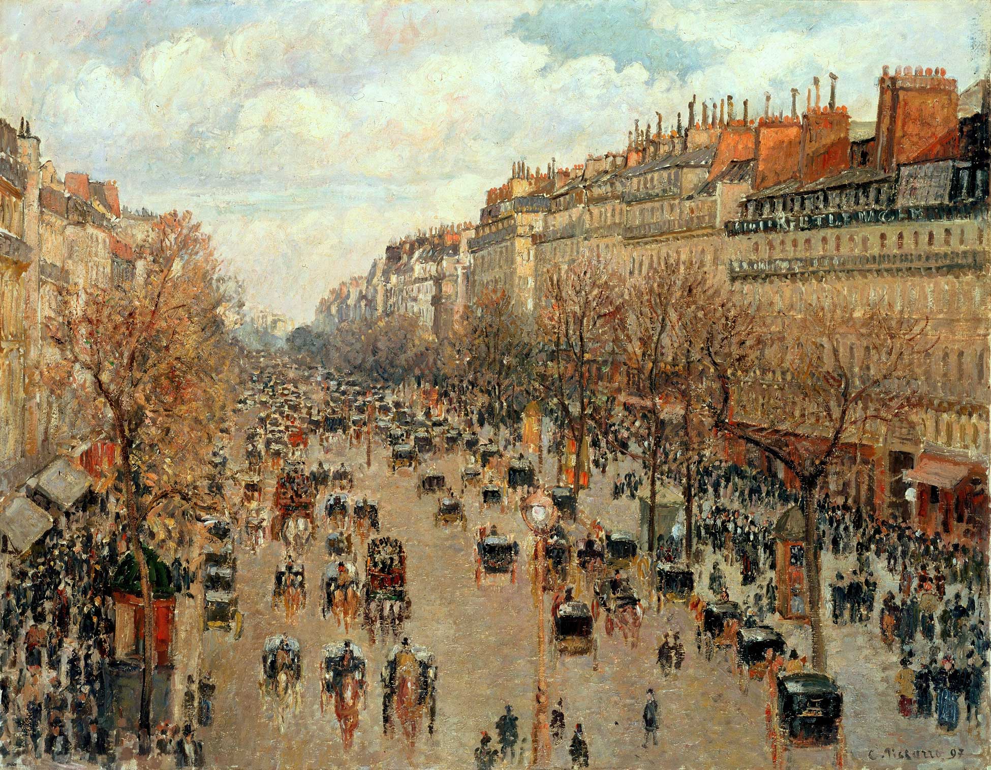
Describing Paris in the 19th Century
Washington University Libraries Data Services team members Dorris Scott and Mollie Webb have worked with Seth Graebner, associate professor of French and global studies, on his project “Describing Paris in the 19th Century.”
The project started as a complement to a book project by professor Graebner about modernity and its development in the observation and description of urban spaces. Texts that describe important landmarks of 19th century Paris were identified and compiled from various sources using automated natural language processing libraries, and then evaluated and confirmed by hand. Relevant passages from these texts were included alongside a geographical representation of Paris and its monuments in the 19th century.
The team’s goal was to show the important locations on a map, then provide the corresponding text passages within a pop-up message that appears when the location is clicked. The map was created using a combination of QGIS, an open-source desktop geographic information system program, and Leaflet, a JavaScript library for web mapping.
As with many spatial projects, the Data Services team assisted with both data preparation and data visualization. Dorris worked with professor Graebner and undergraduate Arts and Sciences student Aishah Al-Mohamedi to prepare the spatial data, advising on formats and coordinating reference systems. The spatial data were loaded into a QGIS project from which the base code for the web map was exported using the QGIS2Web plugin. Once the website files were generated, Mollie assisted with code development that generated custom pop-ups to show the information for each location and unique clustering behavior for the points representing the landmarks.
For more information on the “Describing Paris in the 19th Century” project, please join the Data Services team during Geography Awareness Week where Professor Graebner and Aishah Al-Mohamedi will participate in a panel discussion regarding their use of open-source tools for this project.