The Blaeu Atlas

Joan Blaeu began publishing atlases in Amsterdam in 1635 alongside his father, Williem Blaeu. After Williem died in 1638, Joan continued to publish new atlas editions on his own. The Atlas Maior was Blaeu’s final and grandest atlas project. It was published in multi-volume sets between 1662 and 1665 with versions in Latin, French, Dutch, German, and Spanish. The Atlas Maior was the largest and most expensive book published in the 17th century, containing over 600 maps.
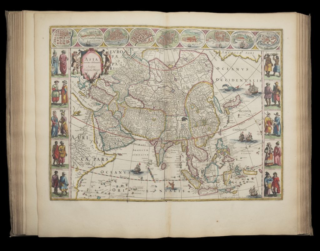
WashU Libraries’ Blaeu Atlas was a gift of Eric P. Newman and contains the last two volumes (volumes 8-9) of the Dutch version of the Atlas. Included in this edition are 18 maps of Spain, 14 of Africa, 16 of Asia, and 28 of America. It is currently on permanent display in the Newman Exploration Center on the A Level of Olin Library.

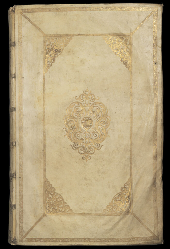
Due to the large number of maps, the beautiful hand coloring, and the quality of the materials and typography, Blaeu’s Atlas was considered a status symbol among the wealthy. Purchasers often might further embellish their sets with custom binding, further gilding and coloring, or a specially made storage cabinet.
When you visit the Exploration Center, you will notice that the maps in the Atlas are brilliantly colored. Unlike paintings of the same age, these pages have not been exposed to light and air for extended periods of time, preserving the pigments in the ink. We will periodically turn the pages for both preservation and viewing purposes, so visit the Newman Exploration Center to see different maps on display throughout the year.

