Government Publications Collections
Washington University Libraries and the Law Library are two of several depository libraries that are part of the Federal Depository Library Program (FDLP) in the St. Louis metro area (for more information, see the complete list of all the member depositories by selecting “FDLP Public Page” when prompted).
We follow the Legal Requirements & Program Regulations of the Federal Depository Library Program and are encouraged to use the Federal Depository Library Handbook for additional guidance.
The Federal Depository Library Program classifies depository libraries as either “regional” or “selective.” Regional depository libraries have agreed to receive and retain at least one copy of all publications made available to the FDLP by the Government Publishing Office. Selective depositories (selectives) may curate their collection to fit their needs by selecting suitable materials to receive. In Missouri, the Regional Depository is the University of Missouri-Columbia.
Related Research Guides
Featured Collections
Atomic Energy Technical Reports | This collection of approximately 18,000 documents from 1945-1970 consists of declassified engineering and scientific reports on atomic energy manufacture, experimentation, and usage.
Civil Rights Suite | The Olin Library has agreed to act as a Regional for a suite of Civil Rights-related government documents, meaning that we will have as comprehensive a collection for these agencies as possible.
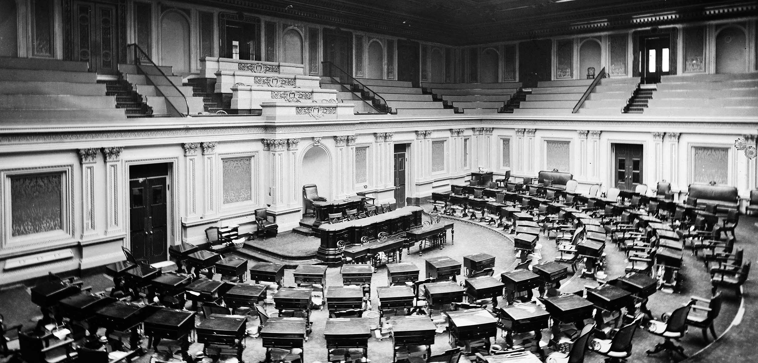
Congressional Papers & Publications | The West Campus holds congressional activity dating from the late-18th and early-19th centuries. These items illustrate the early days of the republic with accounts of congressional debates, votes, and activities.
Congressional Serial Set | The U.S. Congressional Serial Set, commonly referred to as the Serial Set, contains House and Senate Documents and House and Senate Reports bound by session of Congress.
Uncataloged Documents at West Campus | Since the early 1990s, the document collection is recorded in the University Libraries Catalog, which should be consulted first. Older documents were cataloged inconsistently or not at all. Therefore, a researcher may find the following listing of publications by department or agency useful in determining a given publication’s availability.
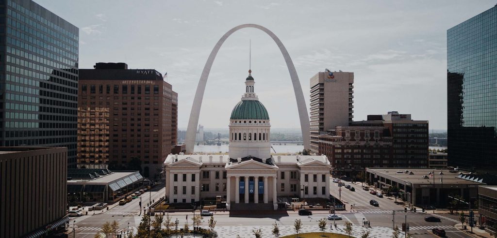
St. Louis City Collection
Bartholomew & Associates St. Louis City Planning
City planning reports issued by Harland Bartholomew and Associates. Other items include correspondence and data files; speeches and articles by Harland Bartholomew; and research notes related to Norman John Johnston’s PhD dissertation.
Historic St. Louis City Maps: Unreal City
Washington University Libraries and the Missouri History Museum hold approximately 3,300 fire insurance maps produced in St. Louis by Alphonso Whipple between 1870 and 1898. Reach out to Curator of Local History Miranda Rectenwald for more information.
European Union & United Nations Government Links
United Nations Economic Commission for Europe (UNECE) Database | Maintained by the Statistical Division of the UNECE Secretariat, the UNECE database provides free access to data structured to facilitate easy retrieval of statistics by users. It presents data by country, by various socio-economic classifications related to the context, and by time period.
UNData, United Nations Statistics Division | Brings international statistical databases within easy reach of users through a single-entry point. The numerous databases are compiled by the United Nations (UN) statistical system and other international agencies, and contain over 60 million data points and cover a wide range of statistical themes.
European Union Statistics | Presents basic and in-depth information about the European Union on a variety of subjects, including law, business, statistics, and more.
Contact Us
Interested parties can reach out to Leland Deeds for more information on the Washington University Libraries Government Documents Collection.
For information on the Law Library’s Government Documents holdings, please contact Tove Klovning.
Access these Materials
The West Campus Library Collection includes the majority of the System’s U.S. documents in print. The West Campus Library is currently closed to visitors.
Please contact Associate University Librarian Leland Deeds for information on the Government Publications Collections.
Contact
- Department
- Collections, Access, and Scholarly Communications
- Name
- Leland Deeds
- Job Title
- Associate University Librarian
- Email Address
- ldeeds@wustl.edu
- Phone Number
- (314) 935-5400